Overview
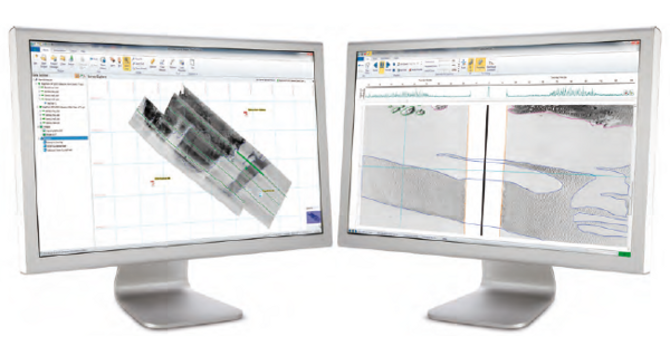
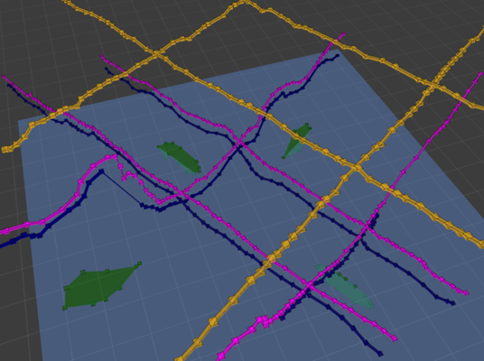
Survey Engine is the complete package that hosts the following modules within it that are customizable to each user. Each of these software packages integrate fully so that both sidescan and seismic data can be used in the same project yielding significant interpretation and productivity benefits:
Sidescan+: is the side scan software for processing and interpreting sidescan sonar data. Built on twenty years of experience that have made our geophysical software the worldwide market leader, Sidescan+ brings survey interpretation up-to-date with the latest database and GIS Technologies.
Seismic+: is a next-generation 2D seismic data processing, interpretation and reporting application for the marine survey industry. Seismic+ SBP software offers exceptional time-saving advantages when reviewing data and performing interpretation. Designed with thousands of line kilometers of survey data in mind, we believe that Survey Engine® Seismic+ is the most productive and intuitive tool available for seismic data processing, interpretation, and reporting.
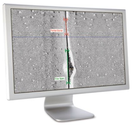
Pipeline+: is the most efficient package for interpreting sidescan sonar records from a pipeline inspection survey. Including support for free span measurements, a definition of a corridor of interest around the pipeline, and extremely flexible attributing, Pipeline+ takes the user from raw data files to fully interpreted GIS or CAD deliverables in a seamless, integrated environment.
Our Survey Engine post-processing software package works in tandem with our range of geophysical data acquisition solutions, the DA4G-USB series. This small form-factor platform with generic USB-to-PC interface facilitates the use of existing PC hardware for geophysical data acquisition. You can click these links to read more information on the DA4G-USB from Ocean News and Technology as well as in Offshore Energy.
Available Automations
Survey Engine® Automatic Object Detection Package: automatically detects boulders on the sea bed, and generates a comprehensive report on each detected boulder. In addition to the detection of each boulder using AI, the SEADP automatically computes the boulder position, length and height to further automate the vital analysis of the seabed condition, saving time and cost. View our Group Press Release here.
Survey Engine® Automatic Seabed Classification: uses AI (artificial intelligence) based methods to detect and classify seabed types in both type and geographical extent from sidescan sonar data. The extent boundaries are instantly visible to the user for validation and QC and can then be exported for use in chart and map generation, direct import to the users chosen GIS platform, or for further processing.


